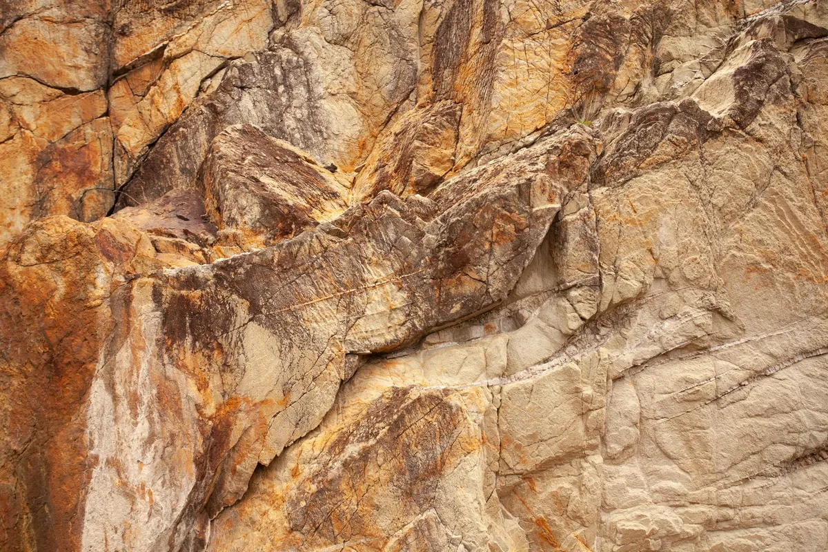
The first time you stand in front of a rock face you have only ever seen on a map, something clicks. Beds that looked like tidy coloured bands on paper turn out to be rough, wet and tilted, and the fossils you were promised are either everywhere or nowhere. It is a good feeling, and it is easier to arrange than most people expect.
A little planning turns a pleasant walk into useful fieldwork. You do not need expensive kit or a geology degree. You need a site that suits your level, permission to be there, and a plan you can actually follow.
For a first trip, pick somewhere you can read without specialist knowledge. Sea cliffs with a wide foreshore are ideal, because the rock is clean, the beds are exposed over long distances, and you can step back to see the structure. Disused quarries in public ownership, river banks and large road cuttings work well too.
Sedimentary sequences are the friendliest introduction: sandstone, mudstone and limestone stacked in clear layers, often with fossils. You can learn a lot from one face — grain size, colour, bedding thickness, the direction of the tilt. Folded or metamorphic terrain is wonderful, but it is easier to enjoy once you have built up your eye over a few trips.
Distance matters more than drama. A site forty minutes away that you visit four times will teach you more than a famous location three hours away that you visit once. A single quarry face is plenty for a first outing.
Before you commit, look for a published description. The British Geological Survey's online map viewer is a good starting point, and local geological societies, museums and the Geologists' Association publish field guides for many areas.
Land that looks empty usually belongs to someone. A public footpath gives you the right to walk a line, not to leave it, and open access land does not automatically include the right to hammer rock or take samples.
On a Site of Special Scientific Interest, the features that make the place special are legally protected, and hammering or removing material generally needs consent. Nature reserves and many coastal sites have their own rules. Check the managing organisation's website or ask at the local museum or society before you travel.
Active quarries are working industrial sites. Never walk into one without permission and a proper induction, however quiet it looks.
If your site is on the coast, the tide is the single most important thing to check. Look up times for the nearest standard port, and note the height and time of low water, not just the hour. Spring tides move much further and faster than neap tides. Weather pushes water higher than predicted, and a swell can make a normally easy beach impassable.
Work out your exit before you walk out onto the foreshore. Identify a route back that stays above the water line, and give yourself far more margin than feels necessary — an hour either side of low water is a reasonable rule of thumb on a big tidal range. Tell someone where you are going and when you expect to be back. Phone signal on remote coasts is unreliable, so do not count on it.
Never hammer at the base of a cliff or stand under an overhanging face. Look up before you look down, and watch the cliff top for loose material. Some cliffs are closed during the seabird nesting season, usually through spring and early summer, so check locally.
Arriving with questions changes everything. Write three or four down before you go, and keep them modest and answerable. For example:
Print the relevant geological map and a topographic map, mark the car park, the exposure and the route, and write your questions on the back. A pencil and a waterproof notebook will outlast any app in the rain.
If you carry dilute acid for a carbonate test, keep it in a small, clearly labelled, tightly closed bottle, well away from your face and skin, and never near food.
Photograph the whole face before you take anything else, then work in close. Where collecting is allowed, take loose material from the scree or beach rather than hammering the face itself, and leave the exposure in a state the next person can still read. Fill any hole you dig on a beach; it is both a safety issue and a courtesy.
A realistic first outing looks like this. Low water is at 10:40, so you arrive at 09:15, park where the map says, and walk onto the foreshore with an hour and a half of falling or slack tide ahead of you. You spend the first twenty minutes walking the length of the exposure, noting the sequence and the direction of dip. Then you pick one bed — say a fossil-rich limestone — and work it properly for an hour: grain size, fossils, thickness, and its contacts with the beds above and below.
By 11:15 you are back above the tide line, and by 11:45 you are sitting somewhere warm, writing up your notes and labelling your photographs. Two or three mornings like that will teach you more than any book. Go, come home, write it up, and go again.
Photo: Pexels / Pixabay